
CALIFORNIA DRONE SERVICES
Professional Licensed Drone Services

Agricultural Surveys
Optimize your crop health and yields
with detailed multispectral surveys that assess soil quality, plant health, and irrigation efficiency. Make better decisions to enhance productivity. Correct problematic areas
before they spread.

Environmental Monitoring
Terrestrial or ocean-based ecosystem surveys. Wildlands fire prevention and damage assessment. Animal populations and annual migrations. Forest and plant health surveys with multispectral imaging.

Top Results
Create detailed analysis reports. Produce 3D images, and orthomosaics from surveys using advanced software..

Construction Monitoring
Track the progress of your projects over time. See your projects from different vantage points and spot potential issues that are harder to see from ground level.

Story Telling
Create compelling short social media stories, or longer video pieces about your goals, crops, employees and operations. We can fly your crops and inside processing facilities.

Real Estate Imaging
Present your Commercial and Residential clients with beautiful imagery and video footage for your clients.

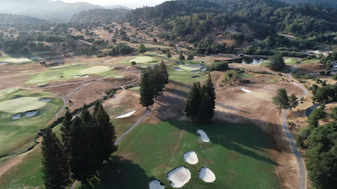
2D & 3D Photo Mapping
Capture detailed, high-resolution aerial 2D and 3D views of your site for planning, monitoring, and marketing purposes. Our orthomosaic images provide accurate representations of your project area, stitched together seamlessly for
detailed analysis.
KipEvansDJI_0012.jpg)
Conservation and Science
Film your research and conservation projects any where in the world with our 4K and 5K drone packages.
Marketing and Social Media
Let us create your social media images and video for your AG, golf, construction or science institution.
Book a consultation to learn more about our services. Our services are quoted by the hour for smaller jobs, by the acre, or by the day for larger projects.
Contact
Like what you see? Get in touch to learn more.
Client Reviews
